Houses on Mansfield Rd
Introduction
The photograph on this page of Houses on Mansfield Rd by Nigel Mykura as part of the Geograph project.
The Geograph project started in 2005 with the aim of publishing, organising and preserving representative images for every square kilometre of Great Britain, Ireland and the Isle of Man.

There are currently over 7.5m images from over 14,400 individuals and you can help contribute to the project by visiting https://www.geograph.org.uk
Houses on Mansfield Rd
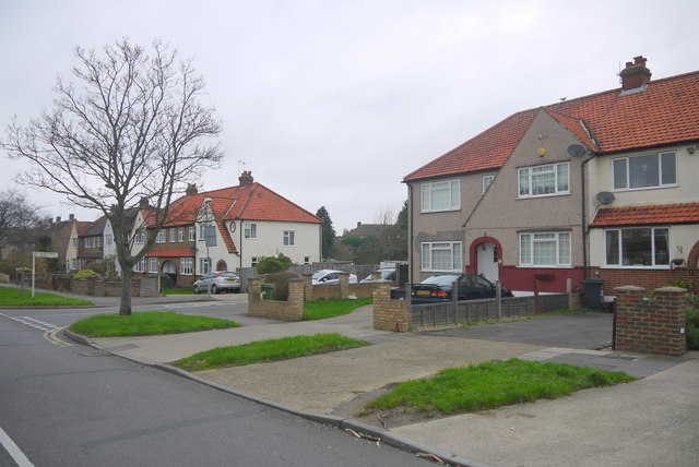
Image: © Nigel Mykura Taken: 3 Dec 2015
Mansfield Rd consists mainly of a number of small terraces each made up of four houses. In many cases the end houses have been extended, such as this one at the junction with Hartfield Rd.. The end terrace on the opposite side of Hartfield Rd has not been extended.
Images are licensed for reuse under creativecommons.org/licenses/by-sa/2.0
Image Location
Latitude
51.363406
Longitude
-0.309772