Hainault Recreation Ground
Introduction
The photograph on this page of Hainault Recreation Ground by Robin Webster as part of the Geograph project.
The Geograph project started in 2005 with the aim of publishing, organising and preserving representative images for every square kilometre of Great Britain, Ireland and the Isle of Man.

There are currently over 7.5m images from over 14,400 individuals and you can help contribute to the project by visiting https://www.geograph.org.uk
Hainault Recreation Ground
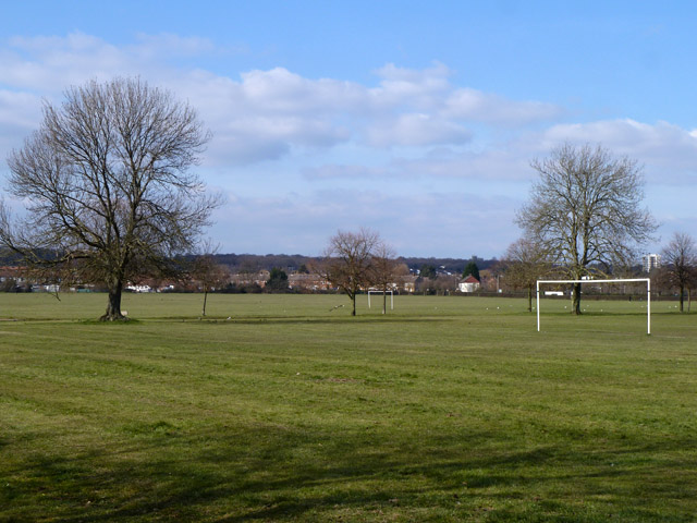
Image: © Robin Webster Taken: 1 Apr 2013
Between 1946 - 1966, this part of the fields was an estate of prefabs. The trees are along one of the roads.
Images are licensed for reuse under creativecommons.org/licenses/by-sa/2.0
Image Location


Leaflet Map data © OpenStreetMap
Latitude
51.602414
Longitude
0.11266