Leadhills Hall
Introduction
The photograph on this page of Leadhills Hall by Alan O'Dowd as part of the Geograph project.
The Geograph project started in 2005 with the aim of publishing, organising and preserving representative images for every square kilometre of Great Britain, Ireland and the Isle of Man.

There are currently over 7.5m images from over 14,400 individuals and you can help contribute to the project by visiting https://www.geograph.org.uk
Leadhills Hall
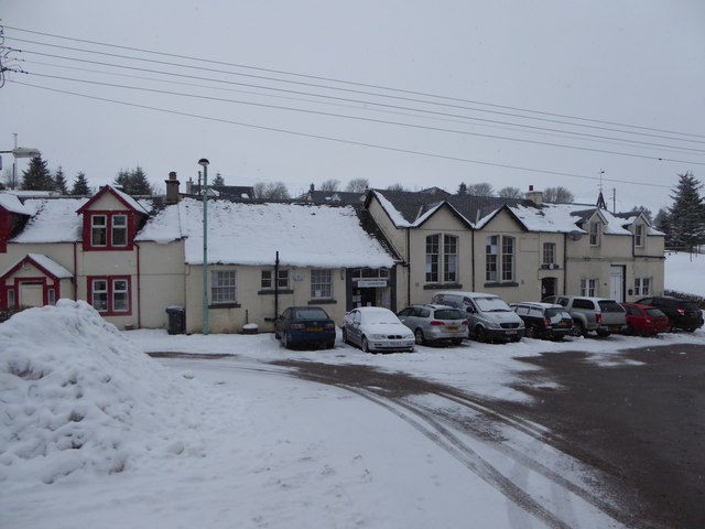
Image: © Alan O'Dowd Taken: 16 Jan 2016
The village hall in the former lead mining village high in the Lowther Hills (population 315).
Images are licensed for reuse under creativecommons.org/licenses/by-sa/2.0
Image Location
Latitude
55.416295
Longitude
-3.761978