Use path at your own risk, Oakengates
Introduction
The photograph on this page of Use path at your own risk, Oakengates by Jaggery as part of the Geograph project.
The Geograph project started in 2005 with the aim of publishing, organising and preserving representative images for every square kilometre of Great Britain, Ireland and the Isle of Man.

There are currently over 7.5m images from over 14,400 individuals and you can help contribute to the project by visiting https://www.geograph.org.uk
Use path at your own risk, Oakengates
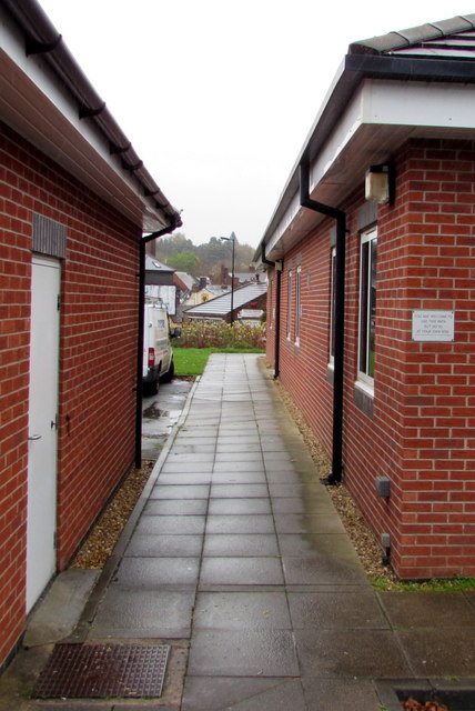
Image: © Jaggery Taken: 9 Nov 2015
The path between Salvation Army buildings gives walkers a short cut from Oakengates railway station to Lion Street. The notice on the right shows YOU ARE WELCOME TO USE THIS PATH BUT DO SO AT YOUR OWN RISK.
Images are licensed for reuse under creativecommons.org/licenses/by-sa/2.0
Image Location
Latitude
52.693845
Longitude
-2.450495