Fingerpost near The Lodge
Introduction
The photograph on this page of Fingerpost near The Lodge by Alan Murray-Rust as part of the Geograph project.
The Geograph project started in 2005 with the aim of publishing, organising and preserving representative images for every square kilometre of Great Britain, Ireland and the Isle of Man.

There are currently over 7.5m images from over 14,400 individuals and you can help contribute to the project by visiting https://www.geograph.org.uk
Fingerpost near The Lodge
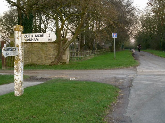
Image: © Alan Murray-Rust Taken: 15 Jan 2016
Standard Rutland County Council concrete style. The lane beyond is now a no through road, but formerly connected to Stretton. It was cut when Cottesmore airfield was constructed.
Images are licensed for reuse under creativecommons.org/licenses/by-sa/2.0
Image Location


Leaflet Map data © OpenStreetMap
Latitude
52.736601
Longitude
-0.678097