Cunobelin Way cycle and foot path
Introduction
The photograph on this page of Cunobelin Way cycle and foot path by Robin Webster as part of the Geograph project.
The Geograph project started in 2005 with the aim of publishing, organising and preserving representative images for every square kilometre of Great Britain, Ireland and the Isle of Man.

There are currently over 7.5m images from over 14,400 individuals and you can help contribute to the project by visiting https://www.geograph.org.uk
Cunobelin Way cycle and foot path
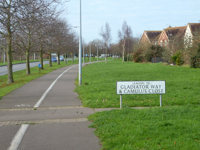
Image: © Robin Webster Taken: 17 Jan 2016
Colchester can't get over the fact it was a Roman town.
Images are licensed for reuse under creativecommons.org/licenses/by-sa/2.0
Image Location
Latitude
51.869241
Longitude
0.860359