Farndon, Notts.
Introduction
The photograph on this page of Farndon, Notts. by David Hallam-Jones as part of the Geograph project.
The Geograph project started in 2005 with the aim of publishing, organising and preserving representative images for every square kilometre of Great Britain, Ireland and the Isle of Man.

There are currently over 7.5m images from over 14,400 individuals and you can help contribute to the project by visiting https://www.geograph.org.uk
Farndon, Notts.
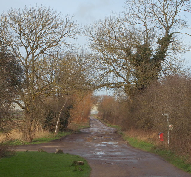
Image: © David Hallam-Jones Taken: 16 Jan 2016
The track ahead and behind the photographer, known as Long Lane, connects the south bank of the River Trent - opposite Staythorpe C Power Station - with Walter's Close, a cul-de-sac off Marsh Lane (Farndon's principal through-route).
Images are licensed for reuse under creativecommons.org/licenses/by-sa/2.0
Image Location
Latitude
53.064409
Longitude
-0.845525