Hen gron / Old dam
Introduction
The photograph on this page of Hen gron / Old dam by Alan Richards as part of the Geograph project.
The Geograph project started in 2005 with the aim of publishing, organising and preserving representative images for every square kilometre of Great Britain, Ireland and the Isle of Man.

There are currently over 7.5m images from over 14,400 individuals and you can help contribute to the project by visiting https://www.geograph.org.uk
Hen gron / Old dam
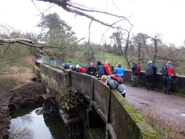
Image: © Alan Richards Taken: 17 Jan 2016
Cerddwyr wrth hen gron a phont gyda hen beiriannau'r llifddorau. Walkers at the former dam and bridge with the old sluice gates machinery.
Images are licensed for reuse under creativecommons.org/licenses/by-sa/2.0
Image Location
Latitude
51.67341
Longitude
-3.825303