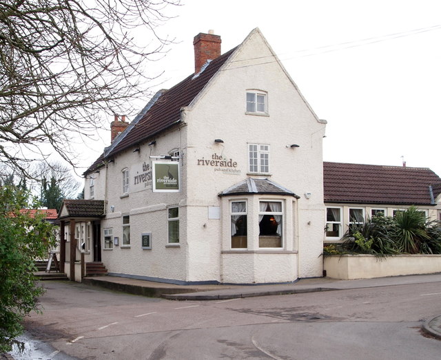
Farndon, Notts.
Introduction
The photograph on this page of Farndon, Notts. by David Hallam-Jones as part of the Geograph project.
The Geograph project started in 2005 with the aim of publishing, organising and preserving representative images for every square kilometre of Great Britain, Ireland and the Isle of Man.
There are currently over 7.5m images from over 14,400 individuals and you can help contribute to the project by visiting https://www.geograph.org.uk

Image: © David Hallam-Jones Taken: 16 Jan 2016
The Riverside Inn, formerly The Britannia Inn, overlooks this bend in Wyke Lane. Wyke Lane is several miles long and links the south-west part of Farndon (behind the photographer), i.e. where the Parish Church and most of the older, quainter properties are situated, with Marsh Lane. Marsh Lane - the principal road through the village - can be reached within minutes round this bend on the right. The River Trent flows on the far side of the pub's car park, to the left.

