Tullybelton
Introduction
The photograph on this page of Tullybelton by Richard Webb as part of the Geograph project.
The Geograph project started in 2005 with the aim of publishing, organising and preserving representative images for every square kilometre of Great Britain, Ireland and the Isle of Man.

There are currently over 7.5m images from over 14,400 individuals and you can help contribute to the project by visiting https://www.geograph.org.uk
Tullybelton
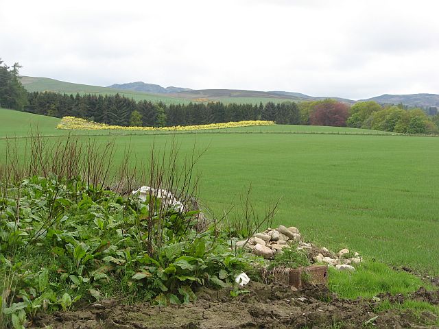
Image: © Richard Webb Taken: 13 May 2007
Land managed for game, as well as agriculture. Woodland also shelters the land from snow bearing winds from the nearby hills.
Images are licensed for reuse under creativecommons.org/licenses/by-sa/2.0
Image Location
Latitude
56.481523
Longitude
-3.568603