Dykes Lane
Introduction
The photograph on this page of Dykes Lane by Mick Garratt as part of the Geograph project.
The Geograph project started in 2005 with the aim of publishing, organising and preserving representative images for every square kilometre of Great Britain, Ireland and the Isle of Man.

There are currently over 7.5m images from over 14,400 individuals and you can help contribute to the project by visiting https://www.geograph.org.uk
Dykes Lane
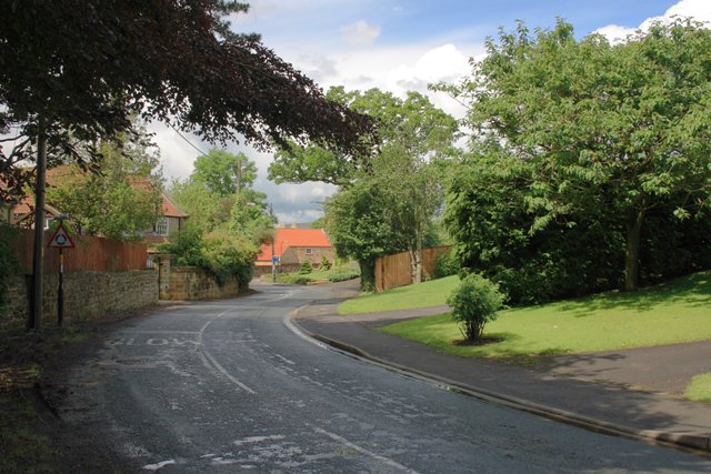
Image: © Mick Garratt Taken: 27 Jun 2007
Or to use its more modern name Station Road. The building in the distance is one of the houses of the Friends School site. To the right is the site of the former Great Ayton gas works.
Images are licensed for reuse under creativecommons.org/licenses/by-sa/2.0
Image Location
Latitude
54.487246
Longitude
-1.12952