Path beside the Ouse
Introduction
The photograph on this page of Path beside the Ouse by DS Pugh as part of the Geograph project.
The Geograph project started in 2005 with the aim of publishing, organising and preserving representative images for every square kilometre of Great Britain, Ireland and the Isle of Man.

There are currently over 7.5m images from over 14,400 individuals and you can help contribute to the project by visiting https://www.geograph.org.uk
Path beside the Ouse
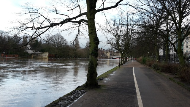
Image: © DS Pugh Taken: 9 Jan 2016
The river is several feet above normal level, but still below breaking over the path. The floodgate at the other end was in place when I cycled to it, necessitating coming back again!
Images are licensed for reuse under creativecommons.org/licenses/by-sa/2.0
Image Location
Latitude
53.960651
Longitude
-1.091905