Blocked farm track alongside Jub Close Wood
Introduction
The photograph on this page of Blocked farm track alongside Jub Close Wood by Christine Johnstone as part of the Geograph project.
The Geograph project started in 2005 with the aim of publishing, organising and preserving representative images for every square kilometre of Great Britain, Ireland and the Isle of Man.

There are currently over 7.5m images from over 14,400 individuals and you can help contribute to the project by visiting https://www.geograph.org.uk
Blocked farm track alongside Jub Close Wood
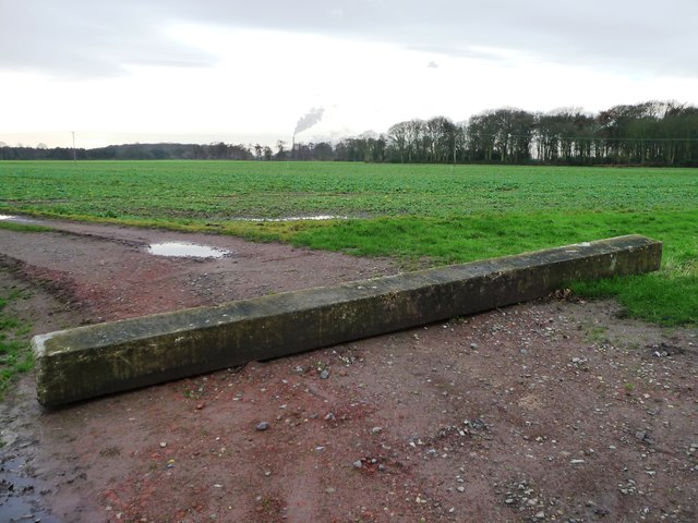
Image: © Christine Johnstone Taken: 13 Jan 2016
The track leads south then west to Chestercourt Hall Farm. The plume of smoke on the horizon comes from Eggborough power station.
Images are licensed for reuse under creativecommons.org/licenses/by-sa/2.0
Image Location
Latitude
53.735252
Longitude
-1.048864