Lloyd Grove, Shifnal
Introduction
The photograph on this page of Lloyd Grove, Shifnal by Jaggery as part of the Geograph project.
The Geograph project started in 2005 with the aim of publishing, organising and preserving representative images for every square kilometre of Great Britain, Ireland and the Isle of Man.

There are currently over 7.5m images from over 14,400 individuals and you can help contribute to the project by visiting https://www.geograph.org.uk
Lloyd Grove, Shifnal
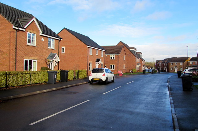
Image: © Jaggery Taken: 26 Nov 2015
Recently-built housing in the south of Shifnal, viewed from the corner of A464 in late November 2015. A July 2011 Google Earth Street View shows house construction work in progress here. The houses in the background did not exist at that time.
Images are licensed for reuse under creativecommons.org/licenses/by-sa/2.0
Image Location
Latitude
52.66158
Longitude
-2.370175