Cae Mawr
Introduction
The photograph on this page of Cae Mawr by Alan Richards as part of the Geograph project.
The Geograph project started in 2005 with the aim of publishing, organising and preserving representative images for every square kilometre of Great Britain, Ireland and the Isle of Man.

There are currently over 7.5m images from over 14,400 individuals and you can help contribute to the project by visiting https://www.geograph.org.uk
Cae Mawr
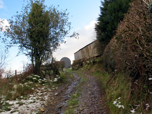
Image: © Alan Richards Taken: 15 Jan 2016
Llwybr cyhoeddus yn agosau at Ffarm Cae Mawr. Yn anffodus mae'r llwybr wedi ei rwystro ar ei ochr ogleddeol. A public footpath approaching Cae Mawr Farm (trans. big field). Unfortunately the path is obstructed at its northern end.
Images are licensed for reuse under creativecommons.org/licenses/by-sa/2.0
Image Location


Leaflet Map data © OpenStreetMap
Latitude
52.056417
Longitude
-4.042027