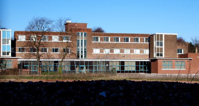
West Hill Drive Vicinity, Mansfield, Notts.
Introduction
The photograph on this page of West Hill Drive Vicinity, Mansfield, Notts. by David Hallam-Jones as part of the Geograph project.
The Geograph project started in 2005 with the aim of publishing, organising and preserving representative images for every square kilometre of Great Britain, Ireland and the Isle of Man.
There are currently over 7.5m images from over 14,400 individuals and you can help contribute to the project by visiting https://www.geograph.org.uk

Image: © David Hallam-Jones Taken: 15 Jan 2016
The rubble in the foreground is all that remains of Mansfield's former general hospital, whilst providing the backdrop is the Mansfield Business Centre, Ashfield Avenue. Addendum: Planning permission for the construction of an £8.5m residential complex of 42 one and two bedroom apartments + 12 bungalows was granted in April 2016. This accommodation is to be for the over-55s, and it will be set around a landscaped village green. The construction period for the scheme is anticipated to be June 2016-November 2017.

