West End, Surrey
Introduction
The photograph on this page of West End, Surrey by Alan Hunt as part of the Geograph project.
The Geograph project started in 2005 with the aim of publishing, organising and preserving representative images for every square kilometre of Great Britain, Ireland and the Isle of Man.

There are currently over 7.5m images from over 14,400 individuals and you can help contribute to the project by visiting https://www.geograph.org.uk
West End, Surrey
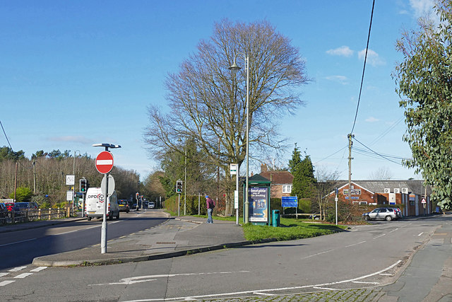
Image: © Alan Hunt Taken: 15 Jan 2016
The junction between the High Street on the right and the A322, Guildford Road. The tree in the centre is a scarlett oak which is noted for its striking Autumn colours.
Images are licensed for reuse under creativecommons.org/licenses/by-sa/2.0
Image Location
Latitude
51.34042
Longitude
-0.644423