Atterbury Rd
Introduction
The photograph on this page of Atterbury Rd by Nigel Mykura as part of the Geograph project.
The Geograph project started in 2005 with the aim of publishing, organising and preserving representative images for every square kilometre of Great Britain, Ireland and the Isle of Man.

There are currently over 7.5m images from over 14,400 individuals and you can help contribute to the project by visiting https://www.geograph.org.uk
Atterbury Rd
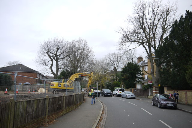
Image: © Nigel Mykura Taken: 3 Dec 2015
View up Atterbury Rd from close to its junction with the drive. On the left is a cleared building site in the grounds of Rosemary lodge where building work is taking place. This involves the demolition of a small group of terraced houses known a Rosemary Cottages and replacing them with six semi detached houses and one detached house all with basements and accommodation in the roofs.
Images are licensed for reuse under creativecommons.org/licenses/by-sa/2.0
Image Location
Latitude
51.416855
Longitude
-0.226834