Path across Fagley Beck
Introduction
The photograph on this page of Path across Fagley Beck by Chris Heaton as part of the Geograph project.
The Geograph project started in 2005 with the aim of publishing, organising and preserving representative images for every square kilometre of Great Britain, Ireland and the Isle of Man.

There are currently over 7.5m images from over 14,400 individuals and you can help contribute to the project by visiting https://www.geograph.org.uk
Path across Fagley Beck
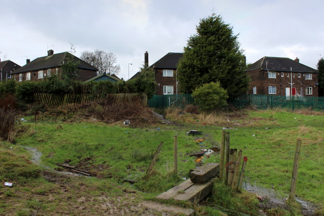
Image: © Chris Heaton Taken: 12 Jan 2016
Party of a muddy footpath between Fagley and Woodhall Lane, where the build up of rubbish and general fly tipping is a disgrace and possibly a health hazard.
Images are licensed for reuse under creativecommons.org/licenses/by-sa/2.0
Image Location


Leaflet Map data © OpenStreetMap
Latitude
53.808781
Longitude
-1.710068