Old-style boundary sign, Colwall Village
Introduction
The photograph on this page of Old-style boundary sign, Colwall Village by Jaggery as part of the Geograph project.
The Geograph project started in 2005 with the aim of publishing, organising and preserving representative images for every square kilometre of Great Britain, Ireland and the Isle of Man.

There are currently over 7.5m images from over 14,400 individuals and you can help contribute to the project by visiting https://www.geograph.org.uk
Old-style boundary sign, Colwall Village
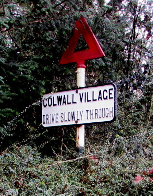
Image: © Jaggery Taken: 11 Jan 2016
Alongside the B4218 Walwyn Road http://www.geograph.org.uk/photo/4792047 in the northeast of Colwall, a village in the east of Herefordshire near the Worcestershire boundary.
Images are licensed for reuse under creativecommons.org/licenses/by-sa/2.0
Image Location
Latitude
52.084103
Longitude
-2.353554