The old Pilot House, Wick Harbour
Introduction
The photograph on this page of The old Pilot House, Wick Harbour by Stanley Howe as part of the Geograph project.
The Geograph project started in 2005 with the aim of publishing, organising and preserving representative images for every square kilometre of Great Britain, Ireland and the Isle of Man.

There are currently over 7.5m images from over 14,400 individuals and you can help contribute to the project by visiting https://www.geograph.org.uk
The old Pilot House, Wick Harbour
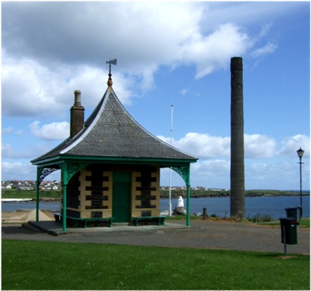
Image: © Stanley Howe Taken: 26 Jun 2007
Seen from Smith Terrace, with the South Pier lighthouse just visible between the Pilot House and the chimney of an old Power House on Harbour Road.
Images are licensed for reuse under creativecommons.org/licenses/by-sa/2.0
Image Location
Latitude
58.437507
Longitude
-3.083115