The Keithing Burn
Introduction
The photograph on this page of The Keithing Burn by Thomas Nugent as part of the Geograph project.
The Geograph project started in 2005 with the aim of publishing, organising and preserving representative images for every square kilometre of Great Britain, Ireland and the Isle of Man.

There are currently over 7.5m images from over 14,400 individuals and you can help contribute to the project by visiting https://www.geograph.org.uk
The Keithing Burn
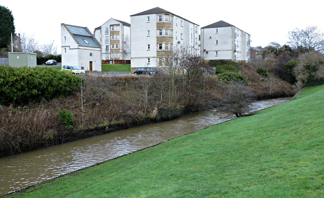
Image: © Thomas Nugent Taken: 23 Dec 2015
Looking across to Merchant's Way from Preston Crescent. The converted, Category B Listed http://portal.historic-scotland.gov.uk/designation/LB35108 Rosebery Doocot is on the left.
Images are licensed for reuse under creativecommons.org/licenses/by-sa/2.0
Image Location
Latitude
56.030476
Longitude
-3.394109