View from Low Ash
Introduction
The photograph on this page of View from Low Ash by Chris Heaton as part of the Geograph project.
The Geograph project started in 2005 with the aim of publishing, organising and preserving representative images for every square kilometre of Great Britain, Ireland and the Isle of Man.

There are currently over 7.5m images from over 14,400 individuals and you can help contribute to the project by visiting https://www.geograph.org.uk
View from Low Ash
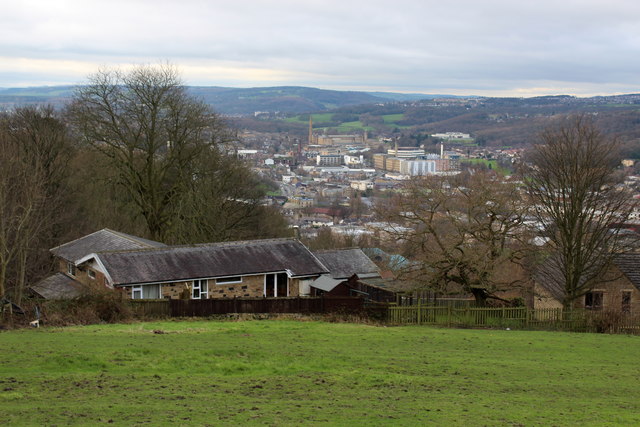
Image: © Chris Heaton Taken: 12 Jan 2016
View looking north west over the Aire Valley, taking in the communities of Saltaire and Shipley
Images are licensed for reuse under creativecommons.org/licenses/by-sa/2.0
Image Location
Latitude
53.832074
Longitude
-1.757009