Cedar tree, burial ground Oxted
Introduction
The photograph on this page of Cedar tree, burial ground Oxted by Brian Green as part of the Geograph project.
The Geograph project started in 2005 with the aim of publishing, organising and preserving representative images for every square kilometre of Great Britain, Ireland and the Isle of Man.

There are currently over 7.5m images from over 14,400 individuals and you can help contribute to the project by visiting https://www.geograph.org.uk
Cedar tree, burial ground Oxted
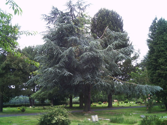
Image: © Brian Green Taken: 13 Jun 2007
Besides this large Atlas Cedar tree, there are numerous other specimen trees in this vicinity and it could, perhaps, be classed as an arboretum.
Images are licensed for reuse under creativecommons.org/licenses/by-sa/2.0
Image Location
Latitude
51.260123
Longitude
-0.009281