Development in Harworth
Introduction
The photograph on this page of Development in Harworth by Neil Theasby as part of the Geograph project.
The Geograph project started in 2005 with the aim of publishing, organising and preserving representative images for every square kilometre of Great Britain, Ireland and the Isle of Man.

There are currently over 7.5m images from over 14,400 individuals and you can help contribute to the project by visiting https://www.geograph.org.uk
Development in Harworth
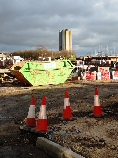
Image: © Neil Theasby Taken: 12 Jan 2016
Significant new house building is underway in Harworth as the old pithead tower looms over the former pit village.
Images are licensed for reuse under creativecommons.org/licenses/by-sa/2.0
Image Location
Latitude
53.416675
Longitude
-1.069226