Idle Hill
Introduction
The photograph on this page of Idle Hill by Chris Heaton as part of the Geograph project.
The Geograph project started in 2005 with the aim of publishing, organising and preserving representative images for every square kilometre of Great Britain, Ireland and the Isle of Man.

There are currently over 7.5m images from over 14,400 individuals and you can help contribute to the project by visiting https://www.geograph.org.uk
Idle Hill
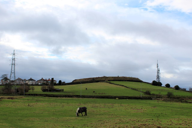
Image: © Chris Heaton Taken: 12 Jan 2016
View towards the summit of Idle Hill - which used to be a covered service reservoir. To the west are masts of a relay station connected to Emley Moor.
Images are licensed for reuse under creativecommons.org/licenses/by-sa/2.0
Image Location
Latitude
53.832152
Longitude
-1.751083