Wolstonbury Hill
Introduction
The photograph on this page of Wolstonbury Hill by Peter Jeffery as part of the Geograph project.
The Geograph project started in 2005 with the aim of publishing, organising and preserving representative images for every square kilometre of Great Britain, Ireland and the Isle of Man.

There are currently over 7.5m images from over 14,400 individuals and you can help contribute to the project by visiting https://www.geograph.org.uk
Wolstonbury Hill
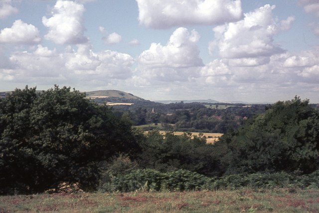
Image: © Peter Jeffery Taken: Unknown
From Lodge Hill the spire of Keymer Church can just be seen poking out through the trees, with Wolstonbury Hill beyond, and on the distant horizon are the trees of Chanctonbury Ring.
Images are licensed for reuse under creativecommons.org/licenses/by-sa/2.0
Image Location
Latitude
50.922184
Longitude
-0.130597