Railway Bridge, Bluehouse Lane
Introduction
The photograph on this page of Railway Bridge, Bluehouse Lane by Brian Green as part of the Geograph project.
The Geograph project started in 2005 with the aim of publishing, organising and preserving representative images for every square kilometre of Great Britain, Ireland and the Isle of Man.

There are currently over 7.5m images from over 14,400 individuals and you can help contribute to the project by visiting https://www.geograph.org.uk
Railway Bridge, Bluehouse Lane
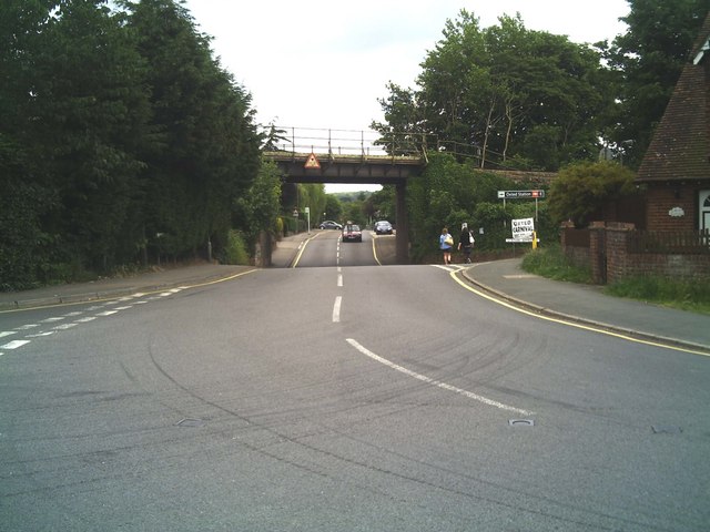
Image: © Brian Green Taken: 13 Jun 2007
Bluehouse Lane Oxted, with a dip in the road under the railway bridge to increase the clearance for vehicles under the bridge; Oxted Station Approach is to the right - before the bridge.
Images are licensed for reuse under creativecommons.org/licenses/by-sa/2.0
Image Location


Leaflet Map data © OpenStreetMap
Latitude
51.259175
Longitude
-0.006456