Listed building, Osmotherley
Introduction
The photograph on this page of Listed building, Osmotherley by Derek Harper as part of the Geograph project.
The Geograph project started in 2005 with the aim of publishing, organising and preserving representative images for every square kilometre of Great Britain, Ireland and the Isle of Man.

There are currently over 7.5m images from over 14,400 individuals and you can help contribute to the project by visiting https://www.geograph.org.uk
Listed building, Osmotherley
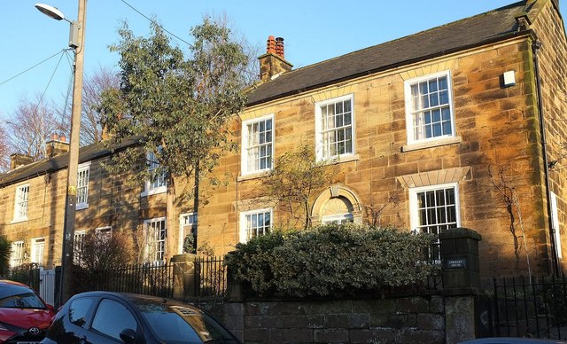
Image: © Derek Harper Taken: 27 Dec 2015
This house on North End is described at http://www.historicengland.org.uk/listing/the-list/list-entry/1150858 , including the garden wall and railings. The terrace to the left is also listed as a unit http://www.historicengland.org.uk/listing/the-list/list-entry/1294676 .
Images are licensed for reuse under creativecommons.org/licenses/by-sa/2.0
Image Location


Leaflet Map data © OpenStreetMap
Latitude
54.370702
Longitude
-1.298689