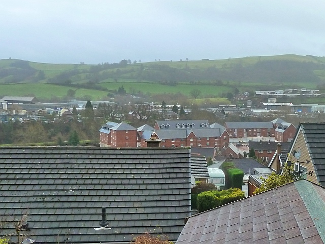
Afon Way viewed from Barn Lane
Introduction
The photograph on this page of Afon Way viewed from Barn Lane by Penny Mayes as part of the Geograph project.
The Geograph project started in 2005 with the aim of publishing, organising and preserving representative images for every square kilometre of Great Britain, Ireland and the Isle of Man.
There are currently over 7.5m images from over 14,400 individuals and you can help contribute to the project by visiting https://www.geograph.org.uk

Image: © Penny Mayes Taken: 25 Dec 2015
The 'mill style' development of town houses and apartments in Afon Way, off Lower Canal Road in the middle ground was designed to resemble the local woollen mills. The buildings to the rear in the development were built over the infilled canal. Commercial (later Kymric) Mill was on part of this site in the 19th and early 20th century although old maps show it had disappeared by the 1960s replaced by an engineering works and a dairy. The bank of the River Severn is visible to the left just above the roofline of the foreground house and beyond it are houses and part of The Lion Works retail/industrial site on Pool Road. To the right is the Cattle Market Tesco (built on the old Smithfield site) with the eastern end of the 1970s development of Treowen further up the hill beyond.

