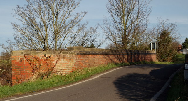
Hawton, Notts.
Introduction
The photograph on this page of Hawton, Notts. by David Hallam-Jones as part of the Geograph project.
The Geograph project started in 2005 with the aim of publishing, organising and preserving representative images for every square kilometre of Great Britain, Ireland and the Isle of Man.
There are currently over 7.5m images from over 14,400 individuals and you can help contribute to the project by visiting https://www.geograph.org.uk

Image: © David Hallam-Jones Taken: 10 Jan 2016
With the village of Thorpe 2-3 miles behind the photographer, this is a view of the Devon Bridge as one approaches the centre of this hamlet. The River Devon (pronounced Deevon) continues for a further mile or so until it empties into the River Trent at the marina on the outskirts of Newark. Hawton boasts approximately 70 inhabitants and is situated to the south of Newark-on-Trent. It played an important part during the English Civil War, hosting an encampment of Roundheads engaged in the struggle against the Royalists in Newark.

