Partly flooded field alongside railway line
Introduction
The photograph on this page of Partly flooded field alongside railway line by Jonathan Hutchins as part of the Geograph project.
The Geograph project started in 2005 with the aim of publishing, organising and preserving representative images for every square kilometre of Great Britain, Ireland and the Isle of Man.

There are currently over 7.5m images from over 14,400 individuals and you can help contribute to the project by visiting https://www.geograph.org.uk
Partly flooded field alongside railway line
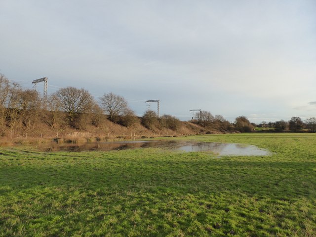
Image: © Jonathan Hutchins Taken: 10 Jan 2016
The line is the Alsager-Crewe line which is single track at this point. The photo is taken from footpath Weston FP 15, which is also part of two designated routes, the Crewe and Nantwich Circular Walk and the South Cheshire Way.
Images are licensed for reuse under creativecommons.org/licenses/by-sa/2.0
Image Location
Latitude
53.077845
Longitude
-2.381202