Heolgerrig preceded by A470
Introduction
The photograph on this page of Heolgerrig preceded by A470 by Bonelli as part of the Geograph project.
The Geograph project started in 2005 with the aim of publishing, organising and preserving representative images for every square kilometre of Great Britain, Ireland and the Isle of Man.

There are currently over 7.5m images from over 14,400 individuals and you can help contribute to the project by visiting https://www.geograph.org.uk
Heolgerrig preceded by A470
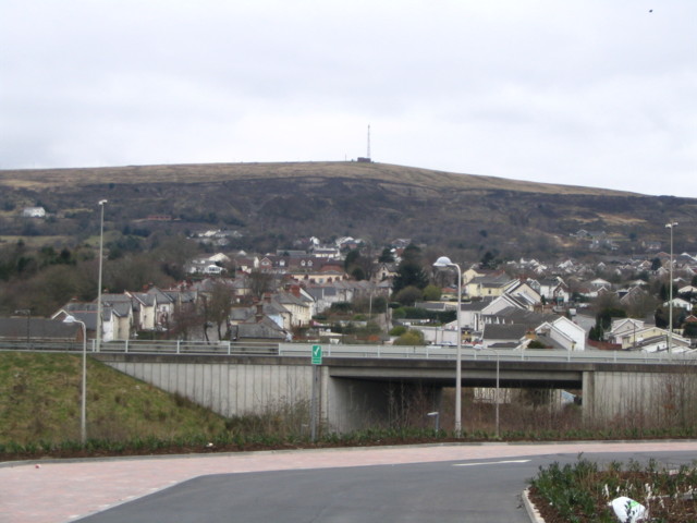
Image: © Bonelli Taken: Unknown
Taken from a recently developed retail park, this pic shows over The A470 Trunk road Heolgerrig and beyond to Mynydd Aberdar And one of its transmitters Image
Images are licensed for reuse under creativecommons.org/licenses/by-sa/2.0
Image Location
Latitude
51.746244
Longitude
-3.399607