OS benchmark - No man's Land, roadside boulder
Introduction
The photograph on this page of OS benchmark - No man's Land, roadside boulder by Richard Law as part of the Geograph project.
The Geograph project started in 2005 with the aim of publishing, organising and preserving representative images for every square kilometre of Great Britain, Ireland and the Isle of Man.

There are currently over 7.5m images from over 14,400 individuals and you can help contribute to the project by visiting https://www.geograph.org.uk
OS benchmark - No man's Land, roadside boulder
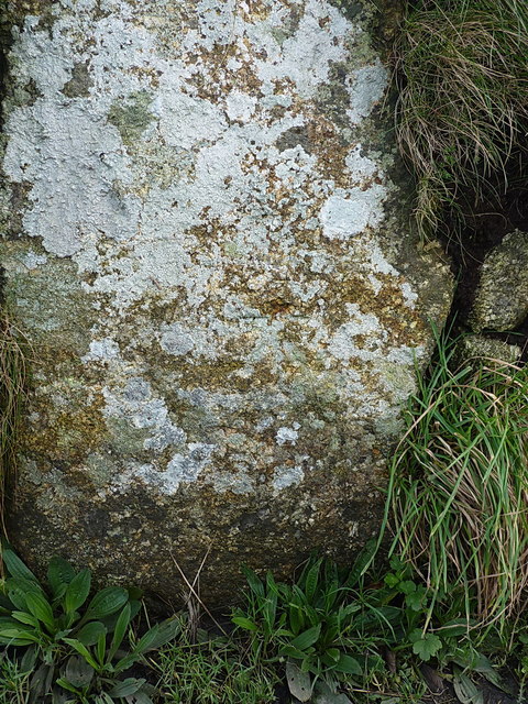
Image: © Richard Law Taken: 26 Dec 2015
It's not easy to see, but there IS an OS cutmark more or less in the middle of this shot, just below what looks like a rusty brown stain on the large granite boulder, which is set into the hedge on the inside of the bend. It was originally levelled at 123.99m above Ordnance Datum Newlyn.
Images are licensed for reuse under creativecommons.org/licenses/by-sa/2.0
Image Location
Latitude
50.082145
Longitude
-5.631162