Valley Road
Introduction
The photograph on this page of Valley Road by Bob Embleton as part of the Geograph project.
The Geograph project started in 2005 with the aim of publishing, organising and preserving representative images for every square kilometre of Great Britain, Ireland and the Isle of Man.

There are currently over 7.5m images from over 14,400 individuals and you can help contribute to the project by visiting https://www.geograph.org.uk
Valley Road
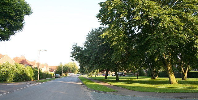
Image: © Bob Embleton Taken: 20 Jun 2007
Taken from the junction with Linden road (on the right) and Central Drive (on the left). Houses built in the post-war surge in the early 1950s. The green on the left has two rows of trees that used to line a beck - a paradise for children. This has now been completely covered over. Nanny state?
Images are licensed for reuse under creativecommons.org/licenses/by-sa/2.0
Image Location
Latitude
54.337759
Longitude
-1.425368