Looking down Fore Street, Polruan
Introduction
The photograph on this page of Looking down Fore Street, Polruan by Oliver Mills as part of the Geograph project.
The Geograph project started in 2005 with the aim of publishing, organising and preserving representative images for every square kilometre of Great Britain, Ireland and the Isle of Man.

There are currently over 7.5m images from over 14,400 individuals and you can help contribute to the project by visiting https://www.geograph.org.uk
Looking down Fore Street, Polruan
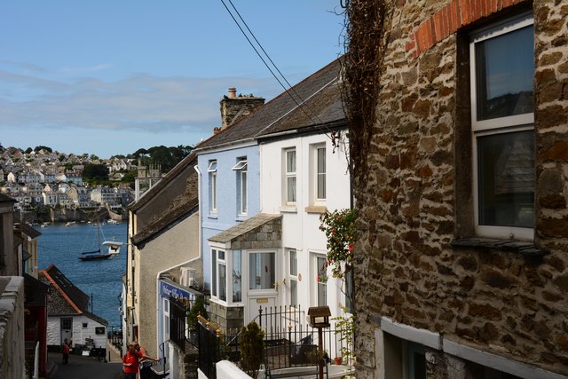
Image: © Oliver Mills Taken: 15 Jul 2015
The main road up the hill, from the seafront and ferry pier. Fowey can be seen across the river.
Images are licensed for reuse under creativecommons.org/licenses/by-sa/2.0
Image Location
Latitude
50.328074
Longitude
-4.633993