Disused railway bridge
Introduction
The photograph on this page of Disused railway bridge by Thomas Nugent as part of the Geograph project.
The Geograph project started in 2005 with the aim of publishing, organising and preserving representative images for every square kilometre of Great Britain, Ireland and the Isle of Man.

There are currently over 7.5m images from over 14,400 individuals and you can help contribute to the project by visiting https://www.geograph.org.uk
Disused railway bridge
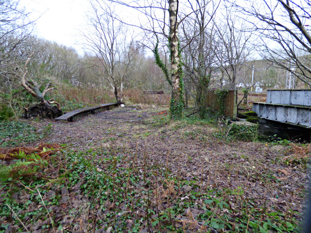
Image: © Thomas Nugent Taken: 3 Jan 2016
Looking east along the former trackbed at the old coal yard sidings towards the former junction with the main line. Note the old buffer stop near the centre of the photo.
Images are licensed for reuse under creativecommons.org/licenses/by-sa/2.0
Image Location


Leaflet Map data © OpenStreetMap
Latitude
55.939686
Longitude
-4.723886