Lane and woodland near Leekbrook, Staffordshire
Introduction
The photograph on this page of Lane and woodland near Leekbrook, Staffordshire by Roger D Kidd as part of the Geograph project.
The Geograph project started in 2005 with the aim of publishing, organising and preserving representative images for every square kilometre of Great Britain, Ireland and the Isle of Man.

There are currently over 7.5m images from over 14,400 individuals and you can help contribute to the project by visiting https://www.geograph.org.uk
Lane and woodland near Leekbrook, Staffordshire
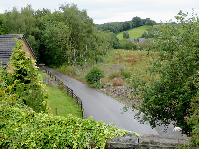
Image: © Roger D Kidd Taken: 1 Aug 2015
Looking south from a passing railway train the embankment by the viaduct. Three hundred metres behind the camera hidden by woodland is the sewage works which used this lane to gain access to the public road system.
Images are licensed for reuse under creativecommons.org/licenses/by-sa/2.0
Image Location


Leaflet Map data © OpenStreetMap
Latitude
53.083397
Longitude
-2.027578