Erskine Bridge approach
Introduction
The photograph on this page of Erskine Bridge approach by Richard Webb as part of the Geograph project.
The Geograph project started in 2005 with the aim of publishing, organising and preserving representative images for every square kilometre of Great Britain, Ireland and the Isle of Man.

There are currently over 7.5m images from over 14,400 individuals and you can help contribute to the project by visiting https://www.geograph.org.uk
Erskine Bridge approach
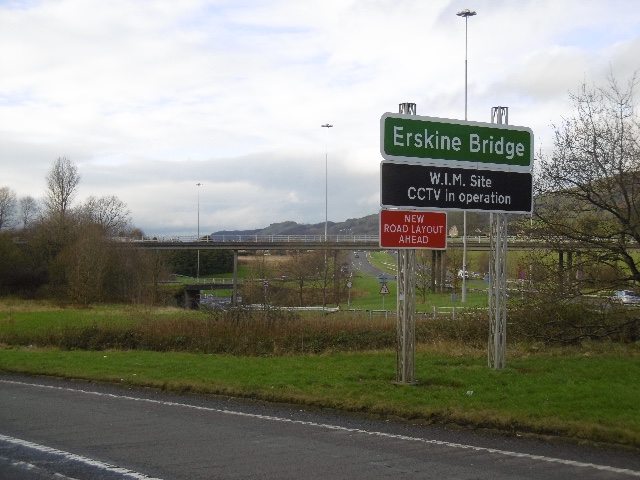
Image: © Richard Webb Taken: 4 Jan 2016
Slip road from the westbound A82. The sign says it is a W.I.M. Site. This means Weigh In Motion and uses the usual surveillance equipment to match trucks with their weights.
Images are licensed for reuse under creativecommons.org/licenses/by-sa/2.0
Image Location
Latitude
55.924295
Longitude
-4.446663