Plaque on the former All Saints Mission Room
Introduction
The photograph on this page of Plaque on the former All Saints Mission Room by Neil Theasby as part of the Geograph project.
The Geograph project started in 2005 with the aim of publishing, organising and preserving representative images for every square kilometre of Great Britain, Ireland and the Isle of Man.

There are currently over 7.5m images from over 14,400 individuals and you can help contribute to the project by visiting https://www.geograph.org.uk
Plaque on the former All Saints Mission Room
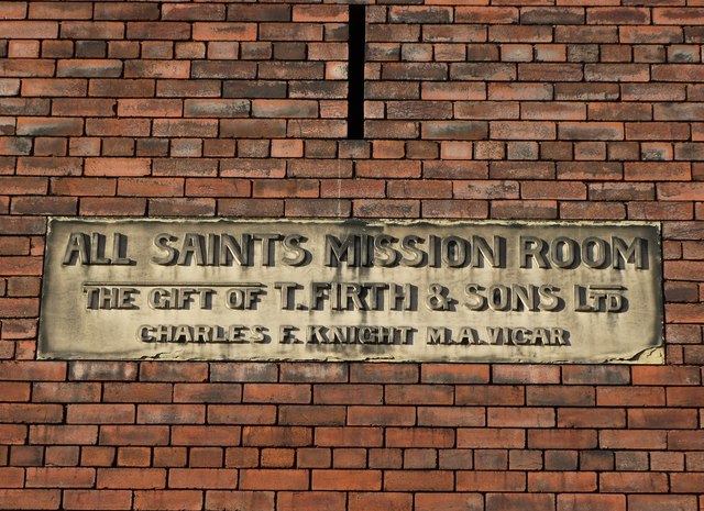
Image: © Neil Theasby Taken: 8 Jan 2016
On Forncett Street, just down the hill from the site of All Saints Church which was demolished in the nineteen seventies. Most of the humble houses that once stood in this area were demolished long ago and the mission room no longer serves its original purpose. Now it is an industrial unit.
Images are licensed for reuse under creativecommons.org/licenses/by-sa/2.0
Image Location
Latitude
53.394234
Longitude
-1.451834