Field next to Robin Hood Hill
Introduction
The photograph on this page of Field next to Robin Hood Hill by Antony Dixon as part of the Geograph project.
The Geograph project started in 2005 with the aim of publishing, organising and preserving representative images for every square kilometre of Great Britain, Ireland and the Isle of Man.

There are currently over 7.5m images from over 14,400 individuals and you can help contribute to the project by visiting https://www.geograph.org.uk
Field next to Robin Hood Hill
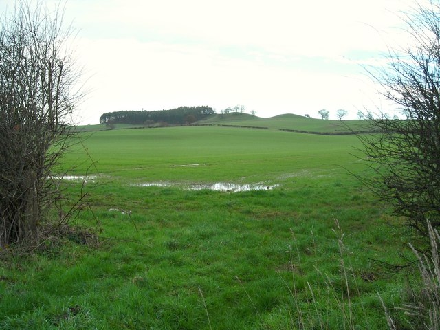
Image: © Antony Dixon Taken: 8 Jan 2016
View through a gap in the hedge across the fields to Robin Hood Hill. The mound on the right is thought to be a burial mound, the ones to the left of it appear to be natural.
Images are licensed for reuse under creativecommons.org/licenses/by-sa/2.0
Image Location
Latitude
53.074861
Longitude
-1.063178