63 Whitstable Road
Introduction
The photograph on this page of 63 Whitstable Road by John Baker as part of the Geograph project.
The Geograph project started in 2005 with the aim of publishing, organising and preserving representative images for every square kilometre of Great Britain, Ireland and the Isle of Man.

There are currently over 7.5m images from over 14,400 individuals and you can help contribute to the project by visiting https://www.geograph.org.uk
63 Whitstable Road
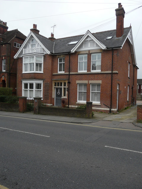
Image: © John Baker Taken: 27 Dec 2015
Planning permission has been granted by Canterbury City Council under application number CA//14/01196 for a “change of use from residential care home (C2) to guest house (C1). Demolition of single-storey extension and erection of two-storey extension. Addition of roof-light to front roof slope and railings and advertising signboard to front of site”.
Images are licensed for reuse under creativecommons.org/licenses/by-sa/2.0
Image Location
Latitude
51.285025
Longitude
1.068727