Cleddans Farm from the air
Introduction
The photograph on this page of Cleddans Farm from the air by Thomas Nugent as part of the Geograph project.
The Geograph project started in 2005 with the aim of publishing, organising and preserving representative images for every square kilometre of Great Britain, Ireland and the Isle of Man.

There are currently over 7.5m images from over 14,400 individuals and you can help contribute to the project by visiting https://www.geograph.org.uk
Cleddans Farm from the air
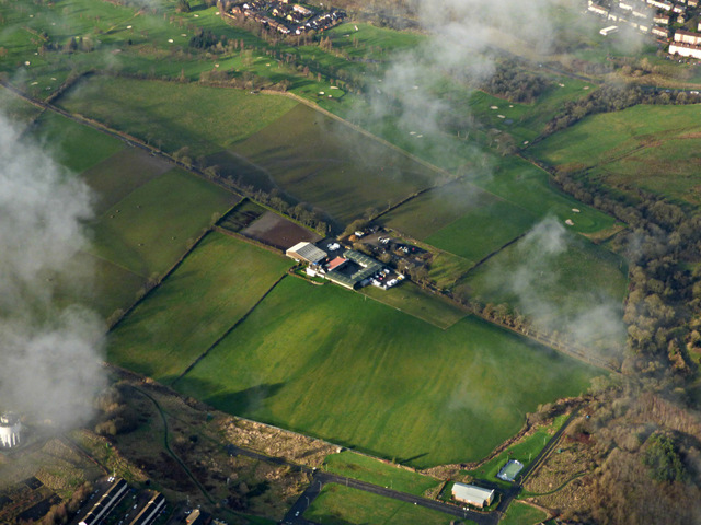
Image: © Thomas Nugent Taken: 4 Jan 2016
Enjoying a rare spot of sunshine on an otherwise dull January day.
Images are licensed for reuse under creativecommons.org/licenses/by-sa/2.0
Image Location
Latitude
55.918306
Longitude
-4.380825