Railway line, Bury
Introduction
The photograph on this page of Railway line, Bury by Bradley Michael as part of the Geograph project.
The Geograph project started in 2005 with the aim of publishing, organising and preserving representative images for every square kilometre of Great Britain, Ireland and the Isle of Man.

There are currently over 7.5m images from over 14,400 individuals and you can help contribute to the project by visiting https://www.geograph.org.uk
Railway line, Bury
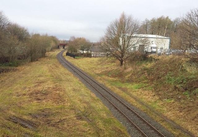
Image: © Bradley Michael Taken: 8 Jan 2016
Viewed from Parkhills Road, the bridge ahead carries Market Street.
Images are licensed for reuse under creativecommons.org/licenses/by-sa/2.0
Image Location
Latitude
53.588118
Longitude
-2.291215