Path under the railway, Radlett
Introduction
The photograph on this page of Path under the railway, Radlett by David Howard as part of the Geograph project.
The Geograph project started in 2005 with the aim of publishing, organising and preserving representative images for every square kilometre of Great Britain, Ireland and the Isle of Man.

There are currently over 7.5m images from over 14,400 individuals and you can help contribute to the project by visiting https://www.geograph.org.uk
Path under the railway, Radlett
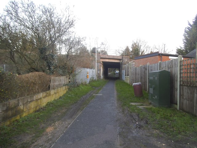
Image: © David Howard Taken: 7 Jan 2016
Leading to The Avenue
Images are licensed for reuse under creativecommons.org/licenses/by-sa/2.0
Image Location
Latitude
51.692975
Longitude
-0.32241