Station Road
Introduction
The photograph on this page of Station Road by Nigel Mykura as part of the Geograph project.
The Geograph project started in 2005 with the aim of publishing, organising and preserving representative images for every square kilometre of Great Britain, Ireland and the Isle of Man.

There are currently over 7.5m images from over 14,400 individuals and you can help contribute to the project by visiting https://www.geograph.org.uk
Station Road
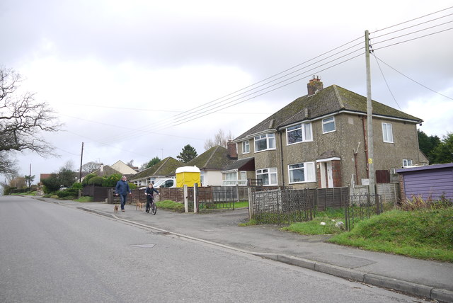
Image: © Nigel Mykura Taken: 31 Dec 2015
Station Rd runs from perry Street down to the railway at Chard Junction where there is no longer a station or a junction. It is lined with thirties bungalows and semi detached houses.
Images are licensed for reuse under creativecommons.org/licenses/by-sa/2.0
Image Location
Latitude
50.842087
Longitude
-2.939602