Peel Brow Junction
Introduction
The photograph on this page of Peel Brow Junction by Paul Anderson as part of the Geograph project.
The Geograph project started in 2005 with the aim of publishing, organising and preserving representative images for every square kilometre of Great Britain, Ireland and the Isle of Man.

There are currently over 7.5m images from over 14,400 individuals and you can help contribute to the project by visiting https://www.geograph.org.uk
Peel Brow Junction
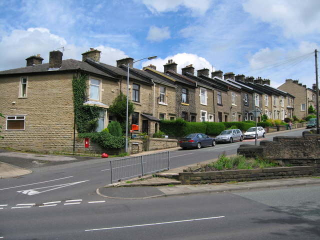
Image: © Paul Anderson Taken: 27 Jun 2007
This is the junction of Peel Brow where it joins Bury New Road at the bottom of the hill. For future reference the three bedroom end terrace house in the picture was on the market for £199,950 in June 2007
Images are licensed for reuse under creativecommons.org/licenses/by-sa/2.0
Image Location
Latitude
53.647482
Longitude
-2.310534