Corner of Malpas Road and Pant Road, Newport
Introduction
The photograph on this page of Corner of Malpas Road and Pant Road, Newport by Jaggery as part of the Geograph project.
The Geograph project started in 2005 with the aim of publishing, organising and preserving representative images for every square kilometre of Great Britain, Ireland and the Isle of Man.

There are currently over 7.5m images from over 14,400 individuals and you can help contribute to the project by visiting https://www.geograph.org.uk
Corner of Malpas Road and Pant Road, Newport
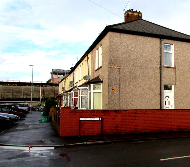
Image: © Jaggery Taken: 5 Jan 2016
A 1960 street map shows this corner alongside the A4051 Malpas Road. After the A4051 in this area was realigned during the construction of M4 motorway junction 26 in the late 1960s, this part of Malpas Road became a dead-end backwater. The wall at the edge of the motorway is in the background.
Images are licensed for reuse under creativecommons.org/licenses/by-sa/2.0
Image Location
Latitude
51.600948
Longitude
-3.003265