Arable land below Brierley Hill
Introduction
The photograph on this page of Arable land below Brierley Hill by Jonathan Billinger as part of the Geograph project.
The Geograph project started in 2005 with the aim of publishing, organising and preserving representative images for every square kilometre of Great Britain, Ireland and the Isle of Man.

There are currently over 7.5m images from over 14,400 individuals and you can help contribute to the project by visiting https://www.geograph.org.uk
Arable land below Brierley Hill
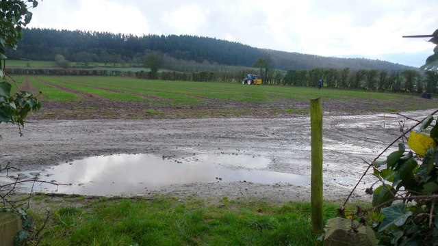
Image: © Jonathan Billinger Taken: 5 Jan 2016
Beyond the hedge to the right is part of the large soft fruit farm belonging to S & A Produce.
Images are licensed for reuse under creativecommons.org/licenses/by-sa/2.0
Image Location
Latitude
52.199441
Longitude
-2.74264