The Pendrea Cross
Introduction
The photograph on this page of The Pendrea Cross by Richard Law as part of the Geograph project.
The Geograph project started in 2005 with the aim of publishing, organising and preserving representative images for every square kilometre of Great Britain, Ireland and the Isle of Man.

There are currently over 7.5m images from over 14,400 individuals and you can help contribute to the project by visiting https://www.geograph.org.uk
The Pendrea Cross
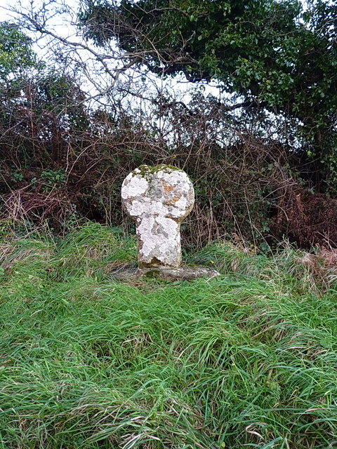
Image: © Richard Law Taken: 24 Dec 2015
Originally located at the entrance to Pendrea Farm, about 350 yards to the southwest, this medieval wayside granite cross is a Scheduled Ancient Monument, and is thought to date from the 12th or 13th century. It was first moved from there to its present location in the late 1950s, but in 2001 was observed to be loose on its base and disappearing beneath overhanging vegetation, and a programme of work to stabilise and bring it back into view was undertaken a couple of years later.
Images are licensed for reuse under creativecommons.org/licenses/by-sa/2.0
Image Location


Leaflet Map data © OpenStreetMap
Latitude
50.071452
Longitude
-5.626691